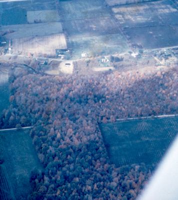
Aerial View of Farms and Forests
Description
- Médias
- Image
- Type d'élément
- Slides
- Description
- An aerial view showing both agriculture and mixed forest lots south of the Niagara Escarpment.
- Notes
- Slide File Number: 08.19-E-4
- Date de l'original
- c. 1963-1968
- Sujet(s)
- Couverture géographique
-
-
Ontario, Canada
Latitude: 43.02482 Longitude: -79.34379
-
- Déclaration de droit d'auteur
- Copyright status unknown. Responsibility for determining the copyright status and any use rests exclusively with the user.
- Contacter
- St. Catharines Public LibraryCourriel:info@myscpl.ca
Adresse Internet:
Adresse postale d'agence54 Church St.
St. Catharines, ON L2R7K2
905-688-6103


