Results
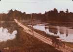
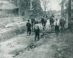
- File Number: 06/pt1/42-1.6 Port Dalhousie amalgamated with the City of St. Catharines in 1961.File Number: 06/pt1/42-1.6 Port Dalhousie amalgamated with the City of St. Catharines …
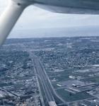
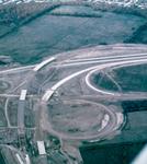
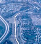
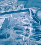
- Slide File Number: 08.20-B-1 Construction of Hwy 406 began in 1963 and the section between St. Davids Road and Geneva Street opened in 1965.Slide File Number: 08.20-B-1 Construction of Hwy 406 began in 1963 and …
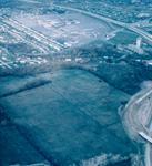
- Slide File Number: 08.20-B-2 The St. Catharines General Hospital in this image is the hospital that was located on Queenston Street from 1870-2013. The St. Catharines General Hospital moved to new faSlide File Number: 08.20-B-2 The St. Catharines General Hospital in this image …
- Slide File Number: 08.20-B-3 Construction of Hwy 406 began in 1963 and the section between St. Davids Road and Geneva Street opened in 1965.Slide File Number: 08.20-B-3 Construction of Hwy 406 began in 1963 and …
- Slide File Number: 08.20-E-2 The St. Catharines Skyway opened for traffic in 1963.Slide File Number: 08.20-E-2 The St. Catharines Skyway opened for traffic in …
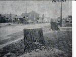
- Slide File Number: 02.34-E-4 The abutments supported a bridge along St. David's Road. Before the construction of the 4th Welland Canal, the road originally went through Thorold, across the 10 Mile CrSlide File Number: 02.34-E-4 The abutments supported a bridge along St. David's …
- Slide File Number: 02.35-A-4 The abutments supported a bridge along St. David's Road. Before the construction of the 4th Welland Canal, the road originally went through Thorold, across the 10 Mile CrSlide File Number: 02.35-A-4 The abutments supported a bridge along St. David's …
- File Number: 19/pt1/12-1.3 Part of the Petrie Collection donated by the Niagara Falls Public Library to the St. Catharines Public LibraryFile Number: 19/pt1/12-1.3 Part of the Petrie Collection donated by the Niagara …
- Slide File Number: 08.18-A-4 The Burgoyne Bridge was designed by the American company Sprague & Reppert and built by the Canadian Bridge Company c.1914. The bridge had 30 feet of road, inlaid streetcSlide File Number: 08.18-A-4 The Burgoyne Bridge was designed by the American …
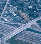
- Slide File Number: 08.21-A-2 Construction of Hwy 406 began in 1963 with the section between Geneva Street and St. David's Road in Thorold opening for traffic in 1965.Slide File Number: 08.21-A-2 Construction of Hwy 406 began in 1963 with …
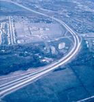
- Slide File Number: 08.21-C-2 The Pen Centre was built in 1958 as an open air mini mall. Renovations in the 1960s brought the stores together under one roof. The mall has undergone further renovationsSlide File Number: 08.21-C-2 The Pen Centre was built in 1958 as …
- Slide File Number: 08.21-D-1 Construction of Hwy 406 began in 1963 and the section between St. Davids Road and Geneva Street opened in 1965.Slide File Number: 08.21-D-1 Construction of Hwy 406 began in 1963 and …
- Slide File Number: 08.21-D-2 The St. Catharines General Hospital in this image is the hospital that was located on Queenston Street from 1870-2013. The St. Catharines General Hospital moved to new faSlide File Number: 08.21-D-2 The St. Catharines General Hospital in this image …


